
OS Landranger Map
OS Landranger Map

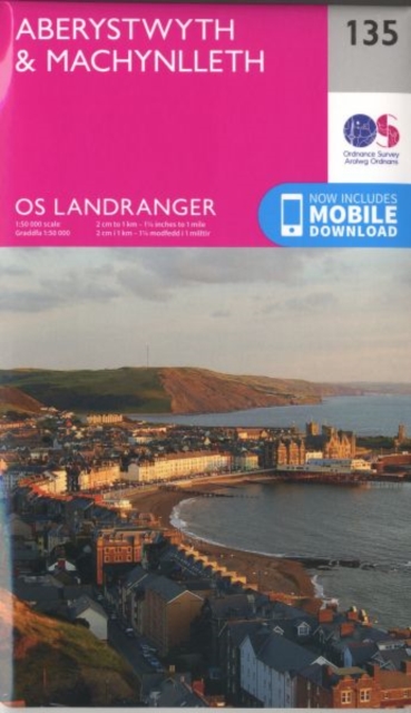
Map sheet number 135 in the OS Landranger map series is the ideal map for planning days out and holidays on the west coast of Wales. From the lower edge of Snowdonia National Park and the nearby Machynlleth to the town of Aberystwyth, this area offers lots of outdoor activities and drives with wonderful scenery.
Levertijd: 5 tot 10 werkdagen
Map sheet number 135 in the OS Landranger map series is the ideal map for planning days out and holidays on the west coast of Wales. From the lower edge of Snowdonia National Park and the nearby Machynlleth to the town of Aberystwyth, this area offers lots of outdoor activities and drives with wonderful scenery. Other areas included in the map area are Ponterwyd, Llanddeiniol and Aberhosan.,
,
Includes mobile download With this map you will receive a code for use on your iOS or Android smartphone or tablet. Find our more at Mobile Download FAQ.