Travel Maps International Adventure Map

Travel Maps International Adventure Map
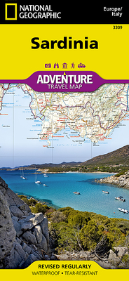
National Geographic's Sardinia Adventure Map provides global travelers with the perfect combination of detail and perspective in a highly functional travel tool. Cities and towns are easy to find with the map's helpful index.
Levertijd: 5 tot 10 werkdagen
National Geographic's Sardinia Adventure Map provides global travelers with the perfect combination of detail and perspective in a highly functional travel tool. Cities and towns are easy to find with the map's helpful index. Expressways, major routes, and other roads are clearly designated and include distance in kilometers so travelers can easily plan their best route. Hundreds of points of interest and diverse and unique destinations are highlighted including beaches, caves, campsites, monuments, churches, castles, and more.,
,
Sardinia's northern half is shown on the front side of the print map including the cities of Sassari, Castelsardo, Olbia, La Maddalena, and Nuoro. The reverse side of the map covers the southern portion of the region and shows the cities of Cagliari, Oristano, Iglesia, Sant' Antioco, and Tortoli.,
,
Sardinia is the second largest island in the Mediterranean Sea. Unlike its sister island Sicily, Sardinia boasts extensive mountain ranges, wide valleys, and broad plateaus. The island is one of the most geologically ancient bodies of land in Europe and unlike Italy and Sicily it is not earthquake-prone. Although Sardinia is surrounded by the clear waters of the Mediterranean, the island itself is relatively dry and has only one natural lake. However, several man-made lakes have been constructed, including Lake Omodeo which was constructed in the 1920's and was for many years the largest reservoir in Europe. ,
,
Every Adventure Map is printed on durable synthetic paper, making them waterproof, tear-resistant and tough — capable of withstanding the rigors of international travel.